CDMPS are pleased to be collaborating with the World Bank and our sister centre, the Centre for Spatial Data Infrastructures and Land Administration (CSDILA), on this valuable work.
While we cannot prevent natural disasters, we can limit their impacts. We need to harness resources, such as established land administration systems, that house national land and geospatial information and sophisticated data managements systems including SDIs, and use them to our advantage to best serve the community.
The aim of this project is to better understand the concept of resilience and how it can be successfully established, implemented, and then sustained for the vast range of stakeholders in our communities, while considering the different priorities and needs of individuals. This project aims to do this through improving our understanding of land administration in the context of disaster risk management and disaster resilience. There is scope for national land and geospatial systems to play a larger role in this domain, resulting in a greater impact, which is being explored in this study.
We have released the first and second of a series of reports as part of this project. The Inception Report focussed on understanding the resources we have at hand in our land and geospatial information, and exploring the ways that this data, and the systems that support it, can be leveraged for other valuable purposes. The Technical Report focussed on developing an analytical framework to guide the country case studies and identify research priority areas and goals to guide the strategic roadmap and inform country action plans.
As a part of this study we considered disaster risk management practices and processes within a number of different country contexts. Our investigation also took us to the local community level, where we gauged the current degree of resilience. This step is crucial in our mission to improve resilience and resilience impact of national land and geospatial systems as we cannot improve on something if we do not know where we are starting from.
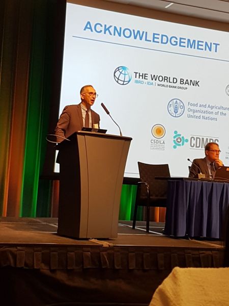
In March 2018, our joint research team (World Bank, CSDILA and CDMPS) led an international expert meeting and plenary panel on this project topic at the World Bank Annual Land and Poverty Conference in Washington. The event offered the opportunity for us to present our Inception Report and interacted with the country consultants engaged on the project, who provided their own preliminary findings and insights. There was also the chance to carry out an in-depth discussion with many key international organisations.
Following the expert meeting, our team participated in a Round table discussion with members of The World Bank to gain further insight into the important themes and issues surrounding our project topic. We were given a chance to present in a panel session during the conference, which we used to present our project and findings, and to conduct an interactive panel discussion with attendees.
Research Team
Prof Abbas Rajabifard and Dr Katie Potts
Collaborators
Mika-Petteri Torhonen, Alvaro Federico Barra and Ivelisse Justiniano
